Resume Download CV LinkedIn
Summary
Md Rony Golder, PhD
Research Fellow at The University of Western Australia and NT Government Specialist Consultant specializing in ocean color remote sensing, biological oceanography, and marine ecosystem modeling. PhD in Spatial Science with 33 research outputs including 26 peer-reviewed articles (h-index: 9, i10-index: 8, 209 citations - Google Scholar). Core expertise: water quality assessment, TUFLOW/AED model validation, satellite data analysis, GIS, and marine biogeochemical processes. EUMETSAT/Copernicus Award Winner (2nd Place, 2022). Previously: Consultant at BMT, Research Officer at UWA, Data Analyst at WAMSI/SEAF, Casual Academic at Curtin University, Visiting Fellow at Université de Brest, and Research Intern at CSIRO.
- Perth, Western Australia
- Available upon request
- mdrony.golder@uwa.edu.au; ronygolderku@gmail.com
- ORCID: 0000-0002-6863-139X
Languages
Bangla: Native
English: Fluent
Research Interests
- Ocean Color Remote Sensing
- Ocean Optics
- Biological Oceanography
- Geographic Information System
- Environmental Science
Education

Doctor of Philosophy in Spatial Science Conferred

Master of Science in Coastal and Marine Science
Bachelor of Science in Fisheries
Training and Conferences
8
Events5
Countries3
Training5
Conferences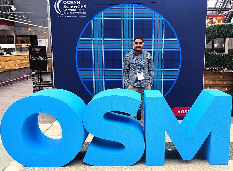
Ocean Sciences Meeting-(OSM2026)
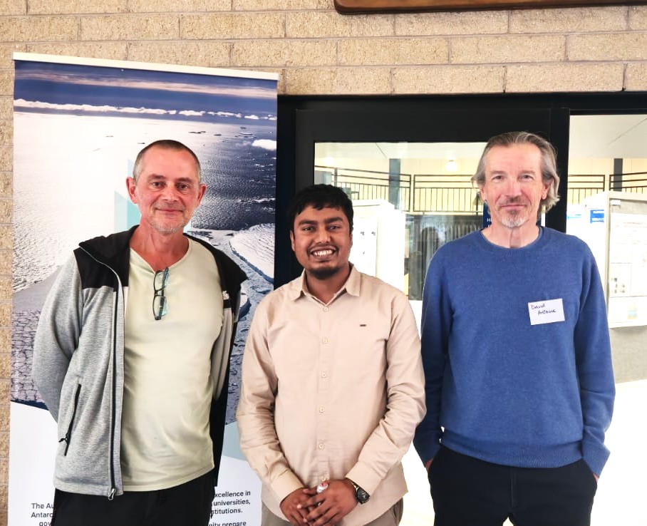
4th Annual ARC SRI Australian Centre for Excellence in Antarctic Science Research Forum
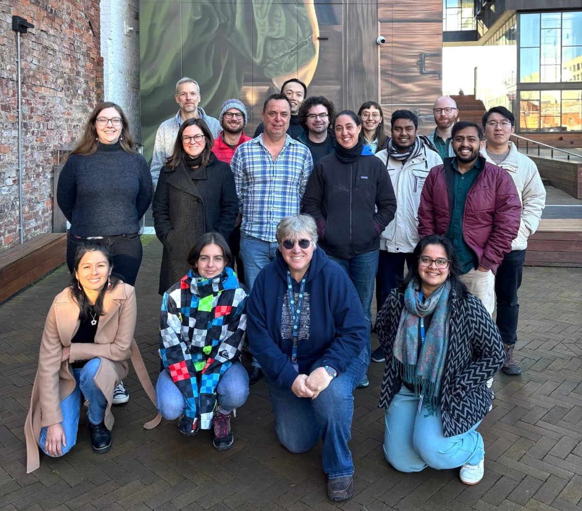
Advancing Regional Marine Ecosystem Modelling: From Southern Ocean to Global Perspectives
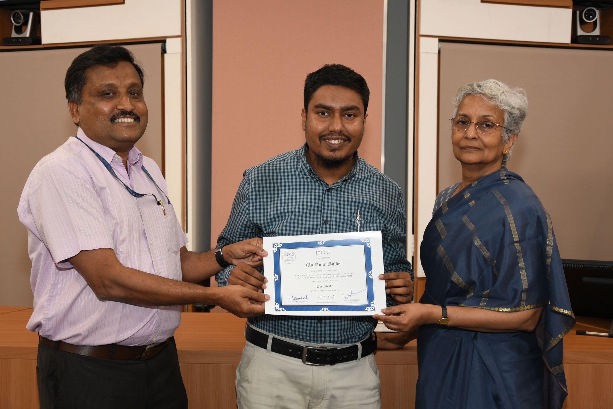
IOCCG (International Ocean Colour Coordinating Group) Summer Lecture Series 2024
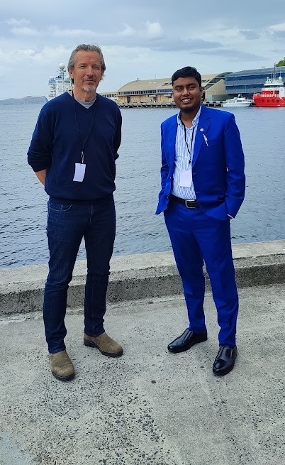
3rd Annual ARC SRI Australian Centre for Excellence in Antarctic Science Research Forum
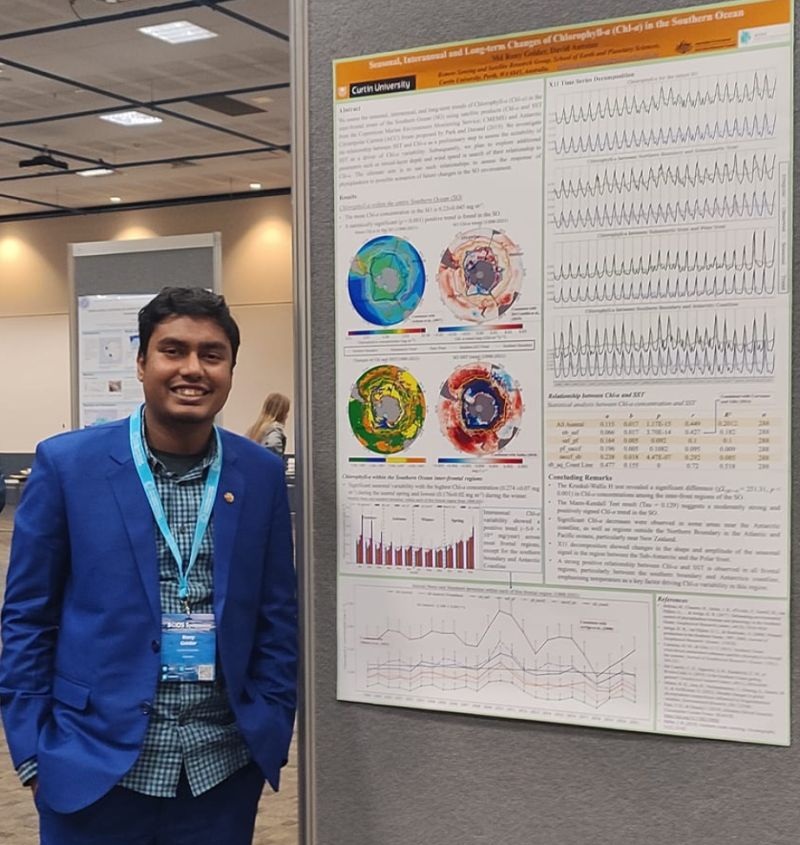
The Southern Ocean Observing System (SOOS) Symposium
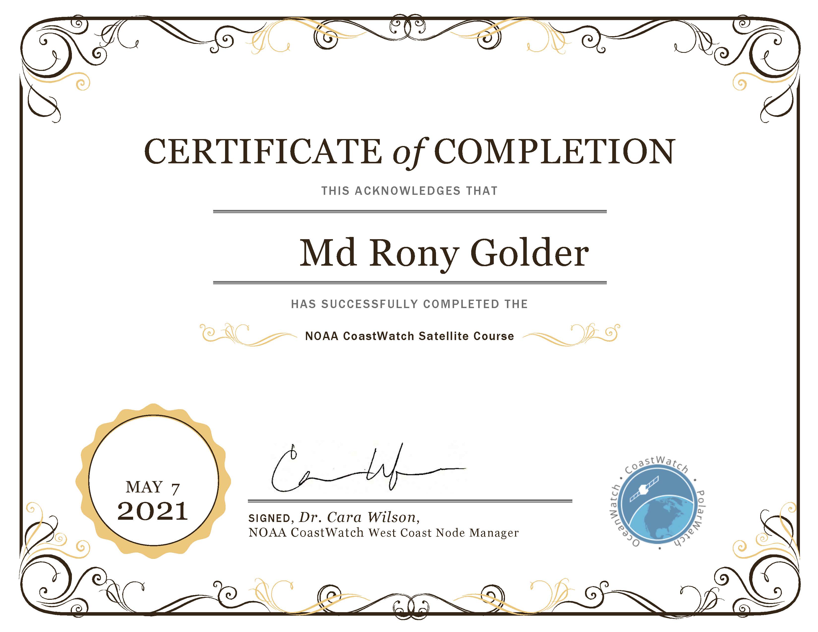
NOAA CoastWatch Satellite Course
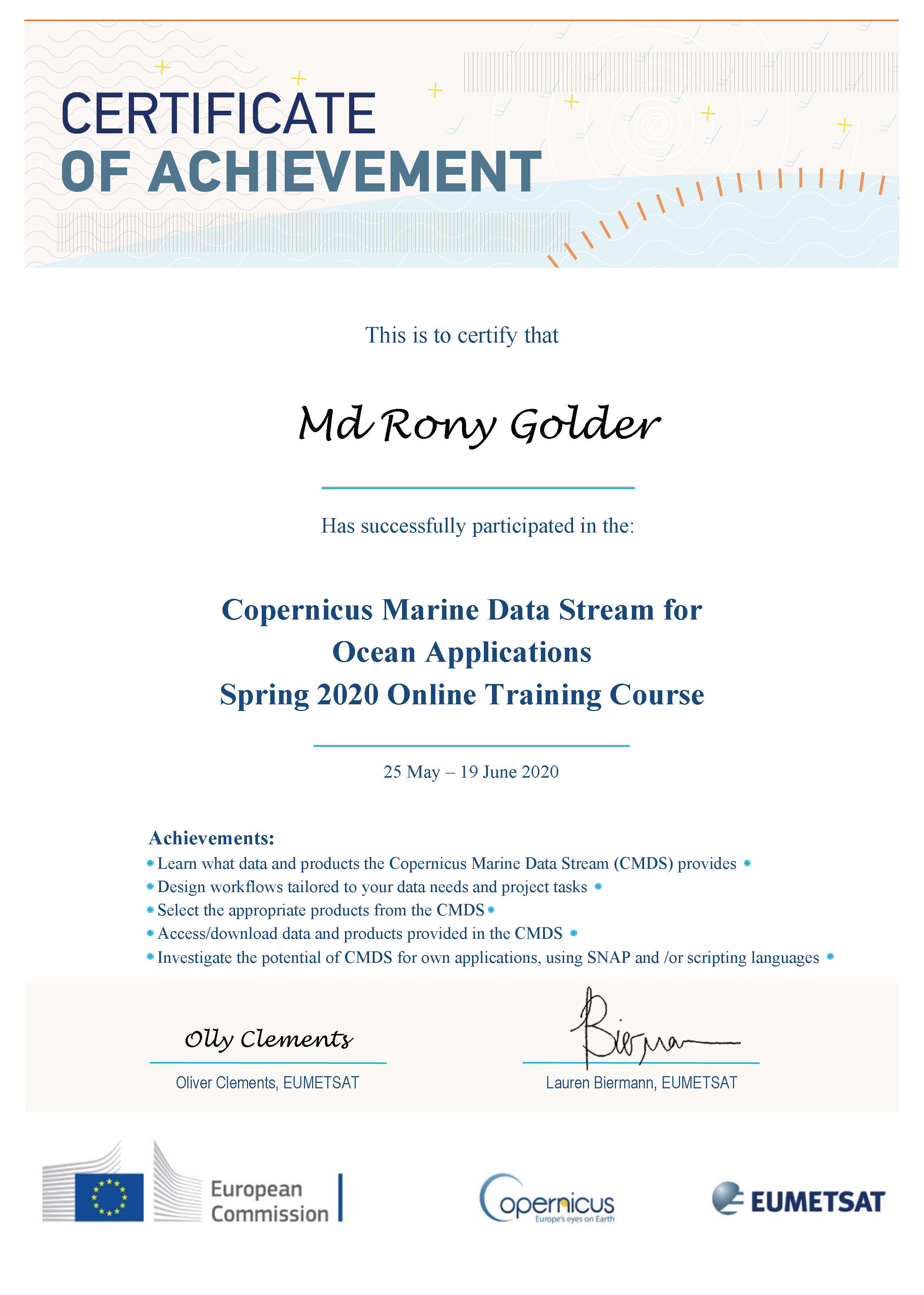
Using the Copernicus Marine Data Stream for Ocean Applications (EUMETSAT — European Organisation for the Exploitation of Meteorological Satellites; CMEMS — Copernicus Marine Environment Monitoring Service)
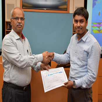
Ocean Colour Remote Sensing – Data, Processing and Applications
Press / Media

World Ocean Day: How MSP can help us navigate the blue frontier
Online Courses
6
CoursesEsri
Platform36
Weeks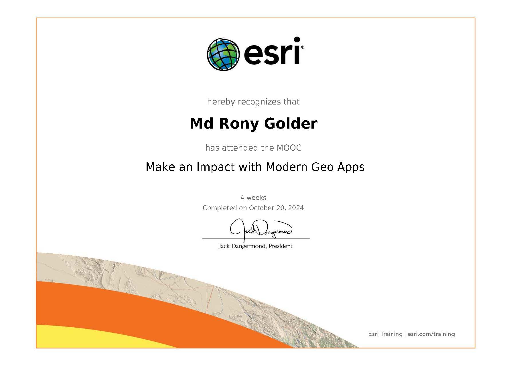
Make an Impact with Modern Geo Apps
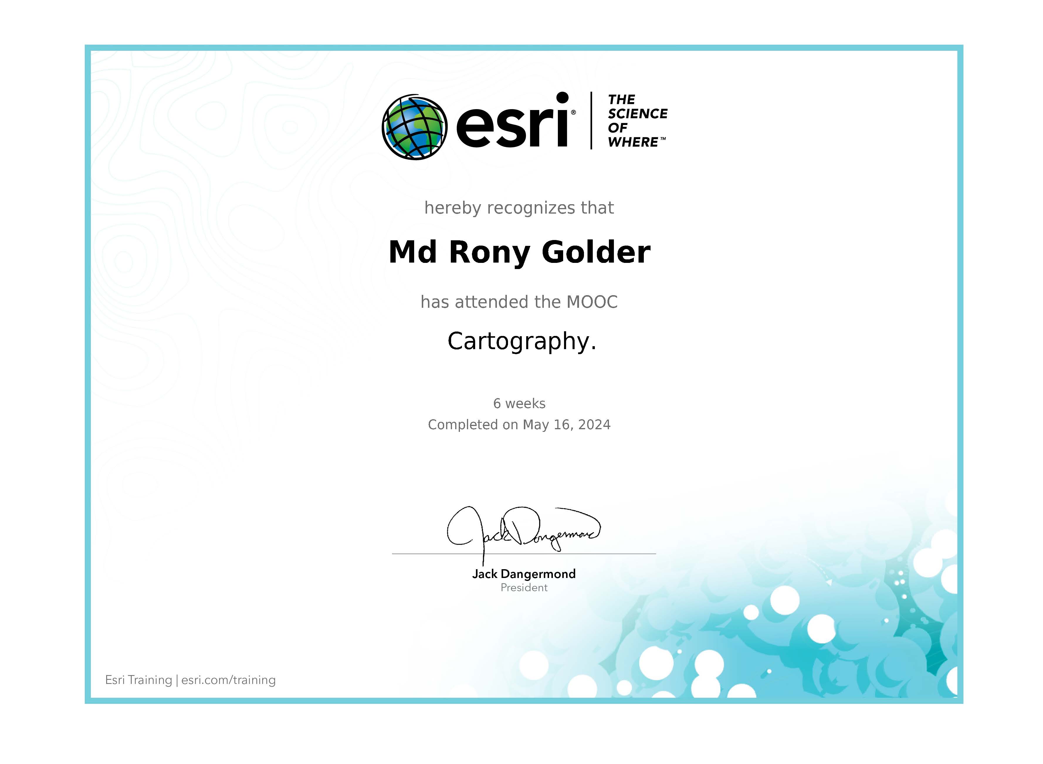
Cartography
Going Places with Spatial Analysis
GIS for Climate Action
Imagery in Action
Spatial Data Science: The New Frontier in Analytics
Ocean Cruises
Expedition To the Swatch of No Ground in the Bay of Bengal with BNS Surma (Bangladesh Navy Ship)
Expedition To the edge of Bangladesh Maritime Boundary in the Bay of Bengal with BNS Turag
Affiliations

Western Australian Spatial Science Student Association (WASSSA)

The Geological Society of America

Australian Marine Sciences Association

American Geophysical Union (AGU)
ID: 1592744
ARC Australian Centre for Excellence in Antarctic Science (ACEAS)

The Oceanography Society (TOS)
ID: 18077
Krishibid Institution Bangladesh (KIB)
ID: 06-19-31743Khulna University FMRT Alumni Association
Recommendations
Alicia Sutton New
Research Manager at WAMSI • January 23, 2026 (Mentor)
"Rony would make a valued member of any team. He approaches tasks with skill, professionalism and efficiency and is always willing to tackle challenges. Rony is highly motivated to find solutions, and goes above and beyond to address needs and value add. I've enjoyed collaborating with Rony and hope to continue to in the future."
Todd Robinson New
Associate Professor at Curtin University • August 26, 2025 (Environmental Applications of GIS & Remote Sensing, Applied GIS, Applied Remote Sensing)
"Every now and then you meet a PhD student that is just that little bit extra. You know the type. They are almost always online and very responsive. They're the right mix of talent and drive. They are organised and capable. You can trust them with heavy teaching materials and know they will deliver. These guys really earn their doctorate. Rony is one of these guys."
Dr. Muhammad Abdur Rouf
Professor and Head, Fisheries and Marine Resource Technology, Khulna University
"Mr. Golder is very sound in team work and has good leading capacity. He is highly skilled in running various data management software's like R studio, ODV, ArcGIS, SeaDAS, SPSS, Python."
Shikder Saiful Islam
Associate Professor, Khulna University
"Mr. Golder is an independent researcher. He is very sincere and praiseworthy in his assigned activities. I found him very active in analyzing research data and interpreting it for scientific publications."
Joyanta Bir
Associate Professor, Khulna University
"Mr. Golder is very enthusiastic and energetic to his work and research. He understands scientific processes and easily recognizes theories, paradigms, and concepts within the marine environment."
Work Experience

Northern Territory Government
Specialist Panel Member- Individually selected, independently vetted, and approved as a specialist consultant on a Northern Territory Government pre-approved Panel Contract.
- Provide specialist expertise in environmental science, development assessment, and statutory approvals.
- Support environmental evaluation activities associated with the Middle Arm Precinct development and Darwin Harbour ecosystem modelling initiatives.
- Deliver evidence-based evaluation of complex development proposals contributing to sustainable economic development in the Northern Territory.
- Leading Darwin Harbour Integrated Ecosystem Model (DHIEM) validation – government-commissioned tool for environmental management and port infrastructure planning used by NT Government agencies.
- Validate TUFLOW FV hydrodynamic-biogeochemical models using multi-sensor satellite data (Sentinel-2/3, Landsat) and in-situ measurements.
- Produce technical reports delivering actionable geospatial intelligence for environmental approvals and water quality monitoring across Darwin Harbour industrial precinct.
- Support research projects related to coastal and marine ecosystems.
- Coordinate with the Centre for Water and Spatial Science on AED model quality assurance.
- Validate model outputs using field observations and satellite data.
- Analyse chlorophyll-a, phytoplankton, TSS, and CDOM to assess ecosystem dynamics.
- Develop time-series and profile analyses for productivity and biogeochemical interpretation.

- Evaluated BMT-developed numerical model performance by validating against satellite and in situ observations.
- Analysed hydrodynamics, water quality, and biogeochemical processes for investigative and applied studies.
- Post-processed and analysed TUFLOW FV model outputs using Python.
- Supported data handling, visualisation, and interpretation of model results.
- Data quality control, extraction, and standardisation for SEAF project (WAMSI/WABSI).
- Developed automated data pipelines for marine environmental monitoring.
- Processing and analysing satellite datasets, producing geospatial maps and visualisations.
- Developed interactive dashboards for marine environmental data visualisation.
- Support marine ecosystem monitoring and analytics reporting workflows.
Teaching & Demonstration
Undergraduate Courses
- SPAT2011 – Mine Surveying and Geoinformatics
- SPAT2008 – Environmental Applications of Geographic Information Science and Remote Sensing
- SPAT3013 – Earth observation from space
Post-graduate Courses
- SPAT5006 – Fundamental of Geographic Information Systems
- SPAT5008 – Applied Geographic Information Systems
- SPAT5009 – Applied Remote Sensing
- ERTH5002 – Habitat and Landform Mapping
- Exploring decadal responses and dynamics of Southern Ocean phytoplankton using multi-decade satellite-derived data (Chlorophyll, SST, wind, SSH, climate indices) and ocean model outputs.
- Extracting and processing large volumes of satellite data from ESA and NASA archives.
- Exploring long-term trends of phytoplankton in the entire Southern Ocean.
- Assessing relationships with climate drivers and predicting future changes of phytoplankton and Southern Ocean climate.
- Applying statistical and machine learning techniques for temporal signal assessment.
- Worked on the Polarscope database project funded by the Australian Centre of Excellence in Antarctic Science.
- Focused on Antarctic and Southern Ocean database development using both remote sensing and in situ data.

Université de Brest (UBO)
- Applying deep learning frameworks to Southern Ocean phytoplankton reconstruction.
- Using climate model data to predict phytoplankton dynamics through to 2100.
CSIRO
Primary focus on integrating biogeochemical data into the Bluelink ReANalysis (BRAN) 2023 model as part of the Bluelink project.
Khulna University
- Satellite data visualization & analysis with SeaDAS, R
- Ocean current data collection and visualization with ArcGIS
- Making graphs for specific regions (RStudio)
- Writing review; organizing workshops and trainings
- Land use/land cover change detection using GIS
- Biodiversity and ecosystem services assessment
- Mapping of aquaculture hotspots near Khulna
- Study area map for the Khulna City Corporation
- Survey location maps from online (Kobo Toolbox) survey data

WorldFish
- Characterizing different carp and prawn nursing practices
- Assessing adaptability to changing environment/weather cycles
- Developing a business model for advanced nursing practice
Honours and Awards
A$250k+
Total Funding14
Awards Received6
Major Grants2012-2026
Award PeriodMajor Research Grants & Projects
ACEAS Impact Project Grant
2026 NewARC Australian Centre for Excellence in Antarctic Science (ACEAS)
Project: "Open Access digital resource dedicated to Earth Observation (remote sensing) and in-situ data"
- Role: Content Lead & Principal Investigator
- Total Funding: A$56,112
- Duration: March 2026 - June 2026
- Team: Prof Peter Strutton (Project Supervisor), Prof David Antoine (Satellite Data Advisor)
ACEAS Write-up Scholarship
2026ARC Australian Centre for Excellence in Antarctic Science (ACEAS)
- Funding: A$5,913.85 (2 months)
- Top-up: A$769
- Purpose: Publication support after thesis submission
Curtin International Postgraduate Research Scholarship
2022-2026 PhD FundingCurtin University, Australia
- Stipend: A$37,500 per year (3.5 years)
- Top-up scholarship: A$5,000 per year (3.5 years)
- Tuition fees: Waived (4 years)
- Total value: ~A$165,000
International Fellowships & Travel Grants
International Doctoral Mobility Scholarship
2025Fellowship
Curtin HDR Dissemination Grant
2025Curtin University
AGU Student Travel Grant
2024American Geophysical Union
Curtin RSSRG Grant
2024Curtin University
- Funding: A$2,850 — CSIRO Internship (Aug–Nov 2024), Hobart
- Funding: A$1,507 — IOCCG SLS 2024 travel (4–16 Nov), Hyderabad
ACEAS Travel Grant
2023- Funding: A$1,500 — 3rd ACEAS Research Forum (7–8 Nov 2023), Hobart, Tasmania
- Funding: A$2,450 — FishMIP Conference (2025)
- Funding: A$2,570 — 4th ACEAS Research Forum Symposium (2025), Hobart, Tasmania
- Funding: A$7,100 — Ocean Sciences Meeting (2026)
Curtin Research Engagement Grant — Travel Support (A$2,500)
2023DAAD Scholarship
2022 GermanyGerman Academic Exchange Service (DAAD) — ISATEC Program, University of Bremen
International Competitive Awards & Recognition
🏆 EUMETSAT / Copernicus International Award
2022 🥈 2nd PlaceAwarded by: EUMETSAT, Copernicus/ECMWF, Mercator Ocean International, and European Environment Agency
Achievement: Competitive international recognition from Europe's foremost Earth observation institutions for developing innovative satellite data processing algorithms.
Academic Scholarships
National Science and Technology Fellowship
2020Ministry of Science and Technology, Bangladesh
Merit Scholarship in Undergraduate Study
2016–2019Life Science School, Khulna University — Merit-based scholarship for academic excellence
DBBL Scholarship
2012–2017Dutch-Bangla Bank Foundation, Dhaka, Bangladesh
- Secondary level: BDT 2,000/month (2 years)
- Higher Secondary level: BDT 2,500/month (4 years)
Skills & Expertise
Comprehensive technical capabilities spanning programming, geospatial analysis, remote sensing, and marine science